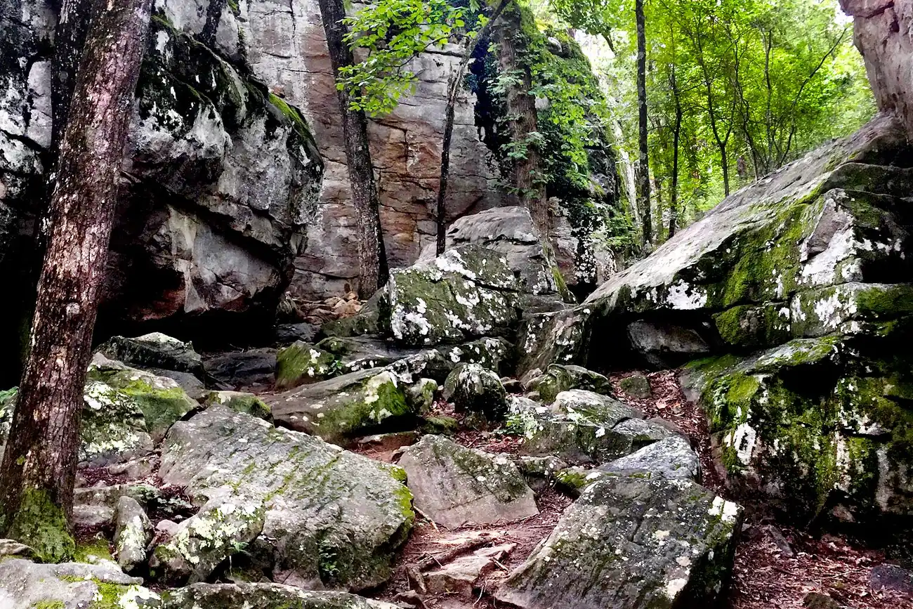
Hoover's trails, with distances and trailheads from the city: Moss Rock's 12 miles, Black Creek bike park, the Cahaba greenway, Veterans Park and Star Lake.
Last checked Oct. 17, 2026. Distances, addresses and rules come from the City of Hoover’s park pages, the Hoover Met Complex and Alabama State Parks, linked below. Trail conditions change after storms; check before you go.
Hoover’s trail network runs from rugged single-track at Moss Rock Preserve to flat lake loops at Veterans Park and Star Lake. Mountain bikers head to Black Creek in the 400-acre Stadium Trace area off Exit 10 of I-459, and the half-mile Cahaba Riverchase Greenway is the city’s paved riverside stroll.
At a glance
- Longest: Moss Rock Preserve, about 12 miles, sunrise to sunset
- Mountain biking: Black Creek Mountain Bike Park, 5 miles
- Paved: Cahaba Riverchase Greenway, 0.5 mile
- Flat loops: Veterans Park’s 5K course; Star Lake (2.5 laps = 1 mile)
- Report trail problems or rule violations: Hoover police non-emergency, 205-822-5300; Parks and Recreation, 205-444-7703
Trails by distance
| Trail | Where | Distance | Surface |
|---|---|---|---|
| Moss Rock Preserve | Trailheads including Simmons Middle School | About 12 miles | Single-track, old roads, easements |
| Black Creek Mountain Bike Park | 5571 Stadium Trace Parkway | 5 miles | Natural, all levels |
| Veterans Park | 4800 Valleydale Road | 5K course (3.1 miles) | Crushed gravel |
| Cahaba Riverchase Greenway | 1930 Old Montgomery Highway | 0.5 mile | Asphalt |
| Star Lake | Star Lake Drive | 0.4 mile a lap (2.5 laps = 1 mile) | Walking trail |
| Loch Haven Park | 3469 Loch Haven Drive | 0.4-mile track | Walking track |
| Finley Center indoor track | 5508 Stadium Trace Parkway | 0.21 mile a lap (5 laps = 1 mile) | Cushioned indoor |
Sources: the city’s park pages, linked in each section below, and the Hoover Met Complex.
Moss Rock Preserve
Moss Rock Preserve is 349 acres of forest, streams, waterfalls and sandstone. Its trails total about 12 miles, built mostly by volunteers, and all designated trails except the power line trail are painted white, blue, red or orange, according to the city’s trail guide.
- White trail: much of it is easy walking along a stream; its eastern end is steep.
- Orange (Boulder Gorge) trail: loops through a 99-acre addition northeast of the original 250 acres. The quickest access is from the Simmons Middle School trailhead.
- Creek crossings: two bridges on the eastern white trail washed away in an April 2014 flood. The city marks the crossings on its trail map and advises against crossing Hurricane Branch in high water.
- Maps: a printable trail map, a downloadable GPS “smart map” and a Boulder Field map.
Rules (Ordinance 03-1973): open sunrise to sunset; no bicycles, skateboards or motorized vehicles on the trails; pets on a leash no longer than 6 feet; no alcohol, glass, fires or camping.
Black Creek Mountain Bike Park and Stadium Trace
Black Creek Mountain Bike Park, 5571 Stadium Trace Parkway, opened in June 2019 with 5 miles of trails for all levels on 73 acres. It sits in Stadium Trace, a 400-acre recreation area off Exit 10 of I-459 near the Cahaba River, which the city says also offers walking, hiking, paddling and fishing. The Hoover Met Complex, the EXPLORE playground and the Finley Center’s indoor track are next door.
Greenway and lake loops
- Cahaba Riverchase Greenway, 1930 Old Montgomery Highway: a half-mile asphalt trail through an open field and a pine thicket and over two bridges along the Cahaba River, with benches and wetlands. No restrooms.
- Veterans Park, 4800 Valleydale Road: a 5K crushed-gravel course around a 4-acre lake and a 1-acre pond and through the woods. Open dawn to dusk, with restrooms and parking on site.
- Star Lake, Star Lake Drive: a walking trail around a 4-acre lake next to Hoover Country Club, with a picnic area and public parking. From U.S. 31, turn onto Deo Dara Drive across from Hoover Commons, then right onto Star Lake Drive.
- Inverness Nature Park, 98 Inverness Center Parkway: 77 wooded acres with hiking trails, streams and an 18-hole disc golf course, in the Shelby County part of Hoover near U.S. 280.
- Blue Ridge Park, 1121 Blue Ridge Blvd.: walking trails that start to the left of the parking lot, and a small playground.
Aldridge Gardens
Aldridge Gardens, 3530 Lorna Road, has a trail system around its lake, open daily 8 a.m. to 7 p.m. The gardens ask visitors to walk, not run or jog, because the trails are natural surface.
Day trip: Oak Mountain State Park
Oak Mountain State Park, 200 Terrace Drive in Pelham, has more than 100 miles of trails for hiking, mountain biking and horseback riding, plus a pump track and BMX course. It is open 7 a.m. until sunset; 205-620-2520.
Related: parks and trails, dog-friendly Hoover and free things to do.
Frequently asked questions
How long are the trails at Moss Rock Preserve?
About 12 miles, color-coded white, blue, red or orange, plus the power line trail. The orange Boulder Gorge trail is best reached from the Simmons Middle School trailhead, the city says.
Where can I mountain bike in Hoover?
Black Creek Mountain Bike Park, 5571 Stadium Trace Parkway, has 5 miles of trails for all levels on 73 acres. Bikes are not allowed on Moss Rock Preserve’s walking trails.
Is there a paved walking trail in Hoover?
The Cahaba Riverchase Greenway, 1930 Old Montgomery Highway, is a half-mile asphalt trail along the Cahaba River with two bridges. There are no restrooms.
Where can I walk indoors in Hoover?
The Finley Center at the Hoover Met Complex has a cushioned indoor walking track; five laps make a mile, and it is free for Hoover residents. The Riverchase Galleria opens to mall walkers at 7:30 a.m. Monday to Saturday.
Have your say